
P ost the official permission granted for the commercial use of drones in 2018, the scope for a technological overhaul hasgone up in the real estate sector.
Drones are unmanned aerial vehicles (UAVs) - essentially an aircraft without any human pilot, crew, or passengers on board. UAVs are a part of unmanned aircraft systems, complete with a ground-based controller and a system of communications with the UAV.
Drones were first known to the public during US - Iraq tensions when the US used them for espionage. However, drones took a huge leap from being a military equipment to being accessible to businesses for enhancing their operations as well as individuals for general use. Today, drones are used in photography, in real estate, entertainment and in many other fields.
Let's understand how drones are causing a positive stir in the real estate industry.
Monitoring
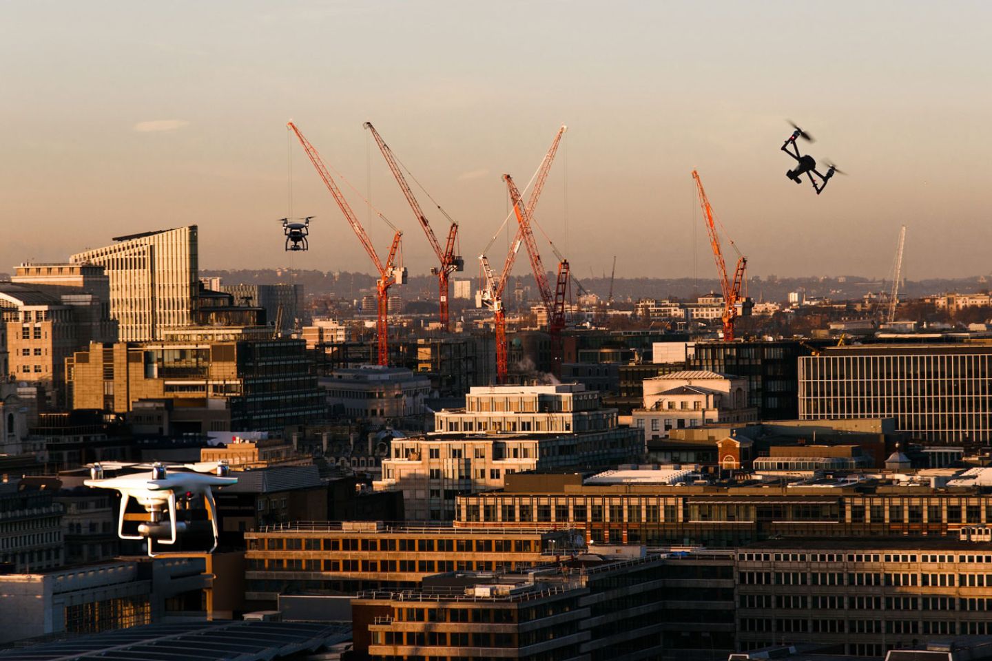
In a real estate business, safeguarding the end assets can be a challenging task. There is always a possibility of illegal settlement, thievery, or the land being used for illegal activities. Drones are the perfect way of monitoring real estate. These devices can help keep a watch on and secure properties through photo and video documentation. Drones can also help monitor the pace of the construction process, in addition to guarding the land and construction materials.
Bird's Eye View
From a consumer as well as real estate dealer standpoint, drones can help gather quality pictures and videos that give a bird's eye view of the property and its surrounding. For both, it helps in crucial decision making.
Digital Marketing
Drone imagery can reach angles and gather views that normal photography or videography cannot tap into. This in turn can become good content that can be strategically used to market properties and upcoming schemes while giving a 360 degree view of the location and its surroundings.
Land Mapping
Drone can help map the layout, the nature of terrain and other dimensions to the construction team. Previously, civil engineers used to map the land manually by taking physical measurements - a tedious task with room for error. Drones are time and cost efficient for the same purpose, as well as eliminate human error. The accuracy of information provided by drones helps engineers map blueprints and to understand what kind of construction is compatible for the land.
Drones aren't devoid of responsibility. Any business needs a licence to operate drones for commercial purposes. Moreover, people tend to look at drones as a nuisance and for good reason. Misuse of these UAVs can mean invasion of privacy for the people and businesses in and around your property, and one must always engage in ethical practices when deploying these devices for commercial use.
0 comments on this post:
Leave a comment